What is Los Cedros
Los Cedros Protected Forest is a forest and wildlife reserve
Founded in 1988 by Josef Decoux and a team of scientists, researchers and philanthropists from Ecuador and various parts of the world. It consists of 15.000 -acre of premontane tropical rainforest and cloud forest. Of this, 200 hectares are formerly colonized land, while the rest is primary forest. It is part of the southern buffer zone of the 989.000-acre Cotocachi-Cayapas National Park. Both are part of the Chocó and Tropical Andes Phytogeographic Region. The most biologically diverse and highly endemic habitats on Earth.

ENVIROMENT
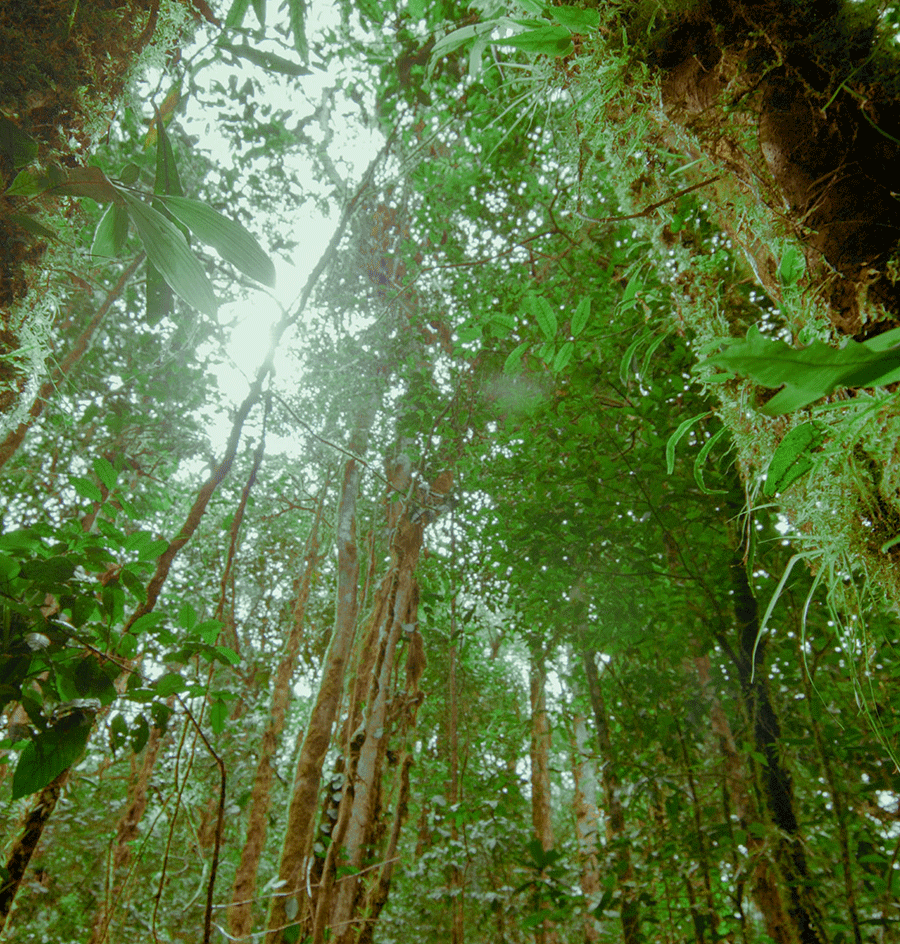
Los Cedros is located in the Cordillera del Toisán, a branch in the northwestern part of the Andes Mountains in Ecuador, in the buffer zone of Cotacachi Cayapas National Park; the reserve has altitudes ranging from 1,000 meters above sea level at the entrance to the reserve, to La Plata Hill at 2,700 meters. The topography is very rugged with steep slopes and steep ravines. It covers four watersheds: the Manduriaco River, the Verde River, the Los Cedros River and the southern bank of the La Plata River.
Although only thirty miles north of the equator, the temperature at these altitudes can get pretty chilly at night and when the clouds and rain move in. The temperature generally fluctuates between 16°C and 25°C (61°F and 77°F). Northwest Ecuador is one of the wettest climates on Earth, due to the meeting of the cold Humboldt and the warm Panama currents just off the coast. The drier season is generally from July to October. This high rainfall and 100% humidity much of the day is critical for the plant and animal communities that have evolved in these forests. This is where the flora and fauna of the Central American, Amazonian, and Andean regions overlap, creating one of the most biologically diverse areas on the planet.

It is estimated that there are more than 400 species of birds in the reserve, with 358 on the reserve bird list as of June 2020. Some of the most endangered birds in Ecuador, such as the critically endangered Black-and-Chestnut Eagle are here, as well as Tanagers, Hawks, Eagles, Parrots, Owls, and Toucans to name but a few. Over a dozen species of hummingbirds whizz around throughout the forest, some only an inch long. The stunning Andean Cock-of-the-Rock, the Toucan Barbet, and the colorful Golden Headed Quetzal make their home here too.
Evidence in the form of scat, tracks, and the occasional sighting provide the assurance that our six species of felines roam their territories here in the reserve. Common names are the Jaguarundi, Margay, Ocelot, Oncilla, Puma, and the western subspecies of Jaguar. In the morning, along with the chorus of birds, you are likely to be woken by the Ecuadorean Mantled Howler Monkey. He is the loudest, so can often be heard, and sometimes seen, in the canopy. The two other primates are the White-Headed Capuchins and the critically endangered Brown-Headed Spider Monkey. The only species of South American bear, the Spectacled Bear, inhabits the higher elevations of the reserve and is seen on occasion.
Lista de especies iNaturalist


