by Monserratte Vásquez
Share
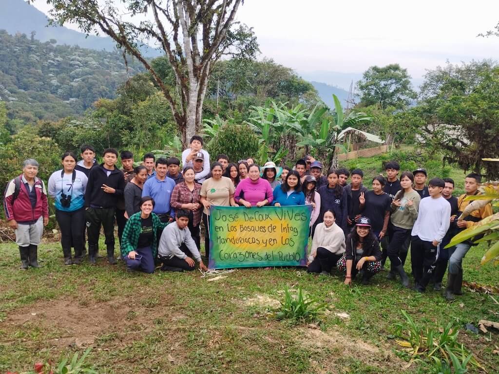
Since the first months of 2024, CIPBAT—the Los Cedros Scientific Station team—has carried out a dream of our founder Josef DeCoux: make an alliance with the Manduriacos Valley school systems to benefit the children and adolescents of the communities surrounding the Los Cedros Protected Forest (LCPF) with environmental education. Los Cedros’s incredible ecosystem would provide the classroom, tools, and the encyclopedia to learn the sciences of the forests of the Chocó bio-region and the Tropical Andes. With the cloud forest as the teacher, our future generations would better understand the value and importance of Los Cedros’s biodiversity.
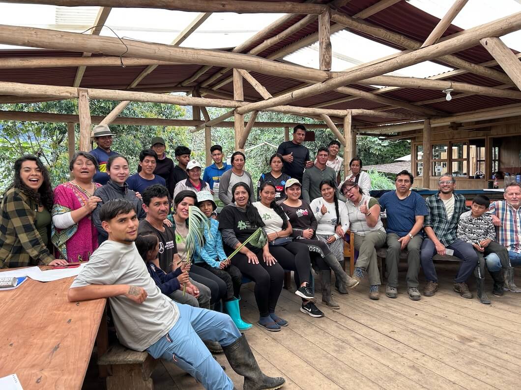
To achieve this dream, we held meetings with several local educational institutions, the Cotacachi cantonal Education District, and the Forests School Network to build a participatory, relevant, and clear pedagogical proposal. We tried to make it a collaboration, nourished by the insights of teachers, the invaluable experiences of forest-based environmental education, and popular community education processes. We wanted to ensure the teaching would be respectful and coherent with the local reality and with the students’ experiences and previous knowledge.
In September 2024, with the help of the Isla Santa Isabel Educational Unit (San Miguel de Chontal and Son José de Magdalena communities), Primero de Junio School (Pueblo Unido community), Ramón Viescas School (Magdalena Alto community), and the Manuel Alfonso Echeverría School (Brillasol community), the Education District approved the pilot environmental education course proposal, and this great dream began. Over the course of four months, we applied a differentiated methodology to work with approximately 180 students between five and 18 years old.
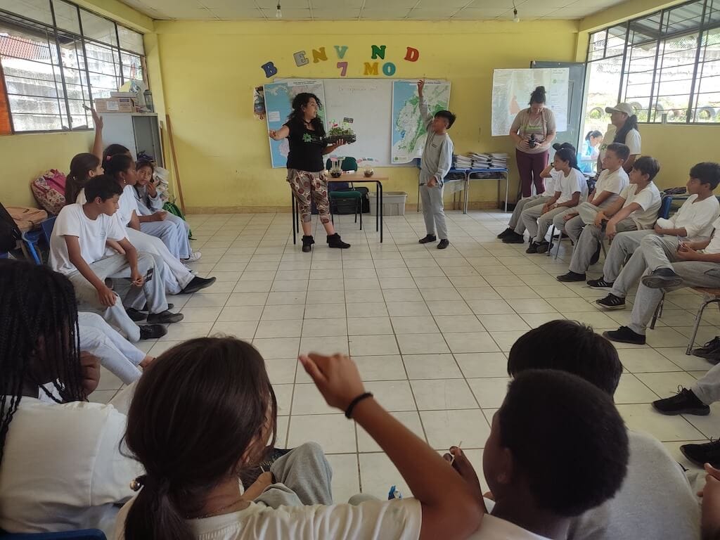
This pilot course addressed the following priority subjects: LCPF’s geographic location, ecosystemic characterization, LCPF’s importance as a habitat for endemic and highly threatened species, definition and types of ecosystem services, forest dynamics, LCPF trigger species, Rights of Nature, and collective actions to ensure the Forest’s protection.
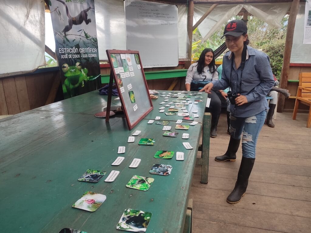
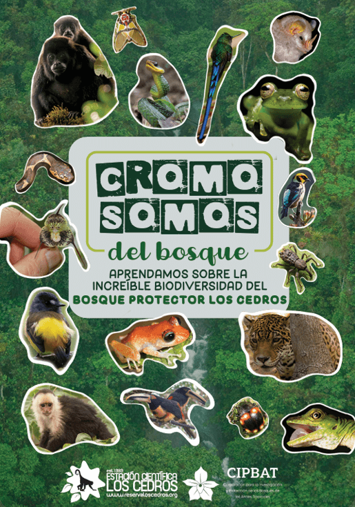
We adopted the methodology of experiential learning, observation, and interweaving of theory and practice. We made fun materials to encourage learning through play. Among them is a sticker album, “Cromo-Somos del Bosque,” a field guide introduction to Los Cedros’s biodiversity through 42 stickers of different species and groups of flora, fauna, and fungi. The field guide inspires and enhances skills such as research, reading, writing, observation, and drawing.

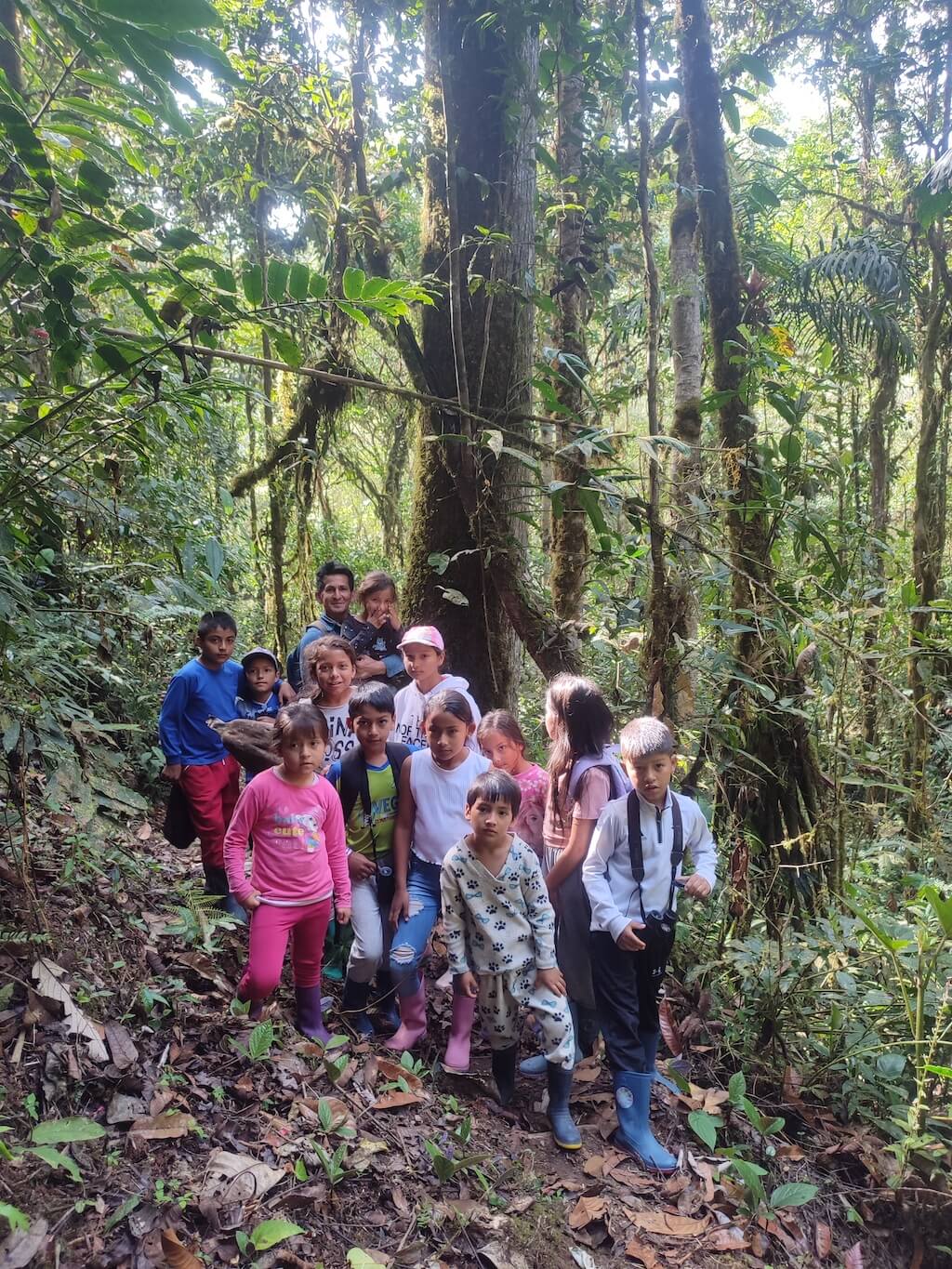
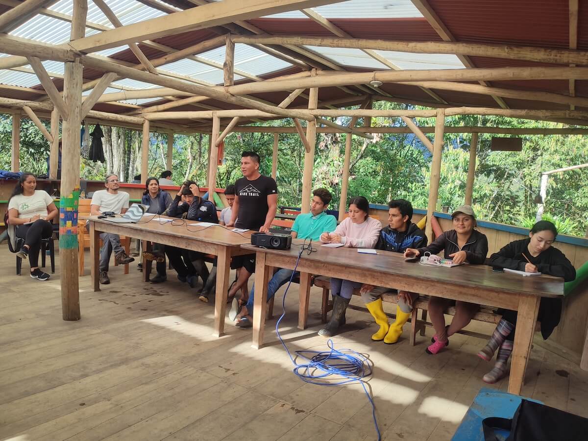
We combined classroom lessons with a field trip to the Los Cedros Scientific Station. In the Living Classroom, our fellow parabiologists and forest rangers from CIPBAT were some of the star teachers who shared their knowledge and understanding of the forest with the students, instructors, and parents who also participated.
Finally, the Isla Santa Isabel Educational Unit high school students participated in an open house where they shared their learning with the rest of the educational community.
Through these efforts, in accordance with LCPF’s Management Plan 2022-2026, the Los Cedros Scientific Station and CIPBAT fulfill an important role in spreading scientific knowledge and skills to the local populations to strengthen their community actions in favor of the conservation and co-management of Los Cedros.
In upcoming blog posts, we’ll focus on the Living Class, the pilot environmental education course’s methodology, and the open house event. We will then post how the instructors from the schools evaluated the course and the feedback that they offered.
Author
Related post
Within the framework of the Project “Preparing Civil Society for the Co-Management and conservation of the Los Cedros Protected Forest – KBA ECU 14” financed by the Critical Ecosystem Partnership Fund (CEPF), we held the introductory workshop on the Birds of the BPLC (KBA ECU14) and of Ecuador in March as part of the forest […]

Twenty community members from the Valle de Los Manduriacos, who are training to be forest rangers, participated in the territory and participatory mapping workshop held in March. The workshop consisted of two phases: the first focused on political mapping, led by José Cueva, a member of the CIPBAT team, and the second on social mapping […]
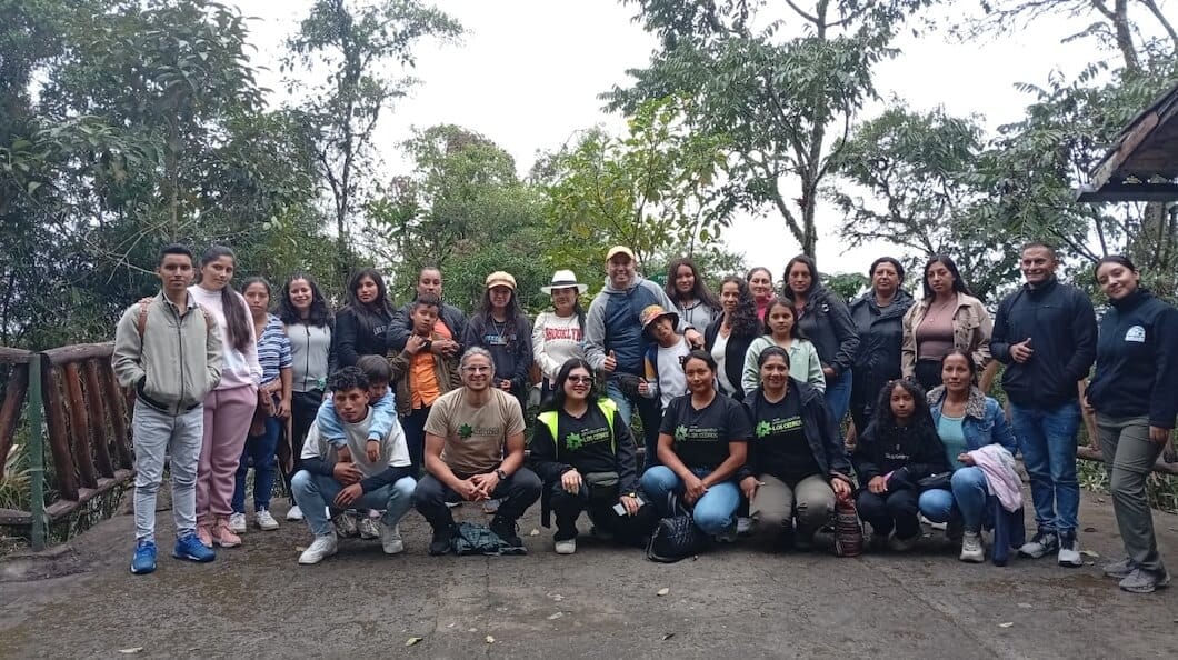
Representatives from the Los Cedros Forest communities visited Yunguilla to learn about sustainable development, organization, and collective hope. Author Jose Cueva
In February, the second phase of the Community Forest Ranger Training Program began, with 10 young adults from last year’s program joined by 10 new young adults from the communities surrounding the Los Cedros Protected Forest, including Brillasol, Magdalena Alto, Chontal, Magdalena Bajo, Pueblo Unido, Paraíso, Río Verde, Villaflora, and Cielo Verde. Each council received […]


